The use of aerial imagery in precision farming has continued to evolve over the last several years since its debut on the market. With many choices available for capturing aerial imagery of your farm, it’s important to understand the differences and applications to help you make the best decision for your operation.
The main advantage of aerial imagery is its ability to provide a birds eye view of your farm. A single image provides you with access to rich data about your crops that help to target infield visits and save time in the field.
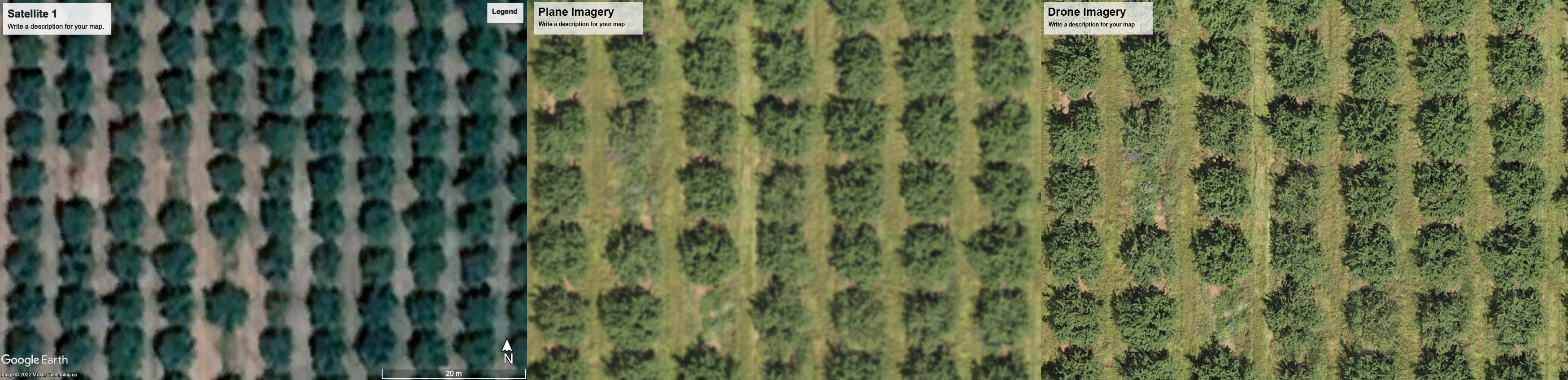
Drone, plane and satellite imagery can all provide useful information, however the value of the information is highly dependent on the quality of the imagery.
First, let’s define the image-collecting techniques we’ll discuss in this article.
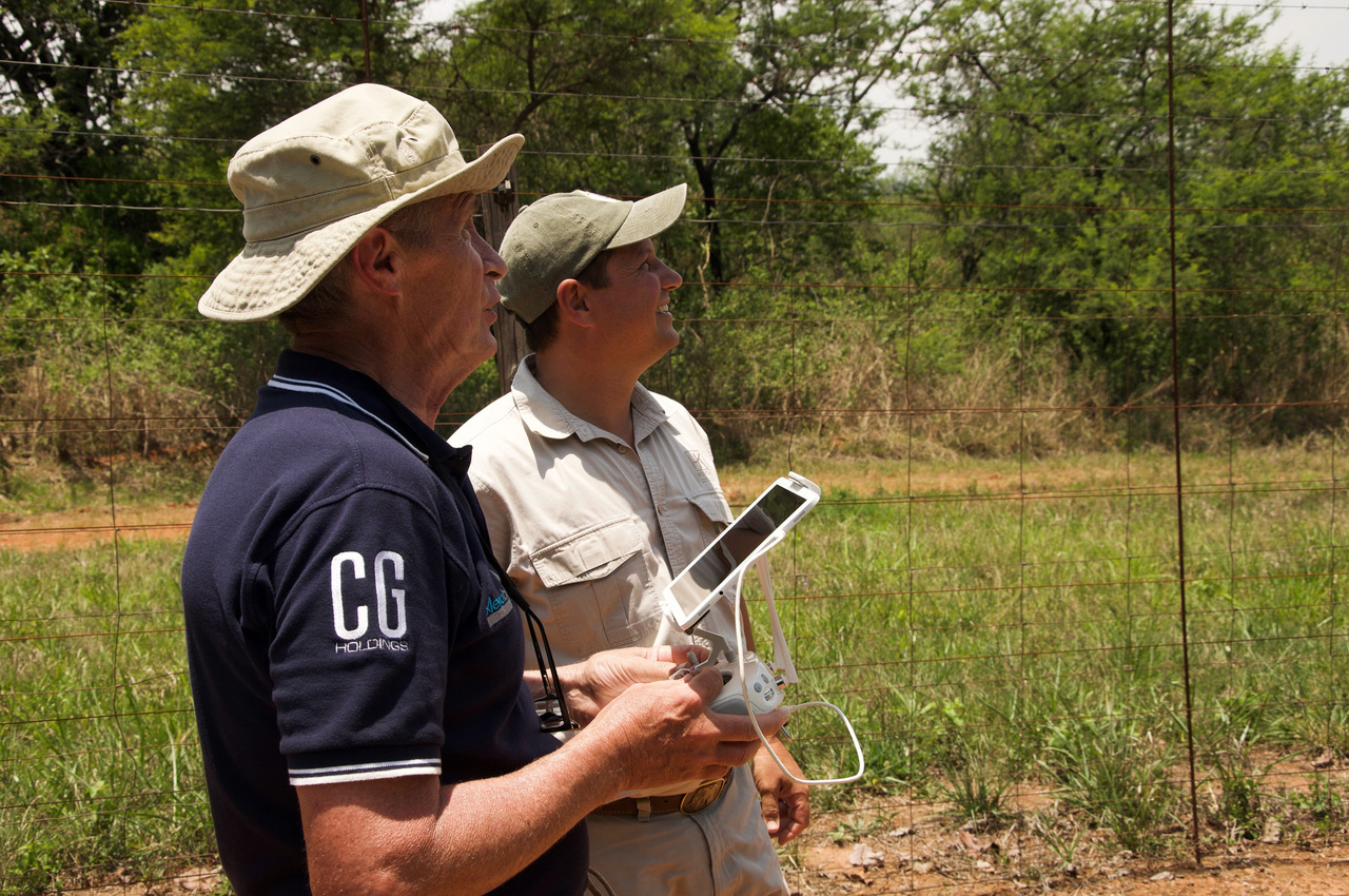
- Also known as unmanned aerial vehicles (UAVs), drones are used in agriculture to scan crops with multispectral imaging sensors.
- Remote sensing satellites orbit the earth year-round, snapping photos as regularly as every week.
- Fixed-wing aircrafts fly low and are well-suited for long distance missions due to higher endurance
The two main factors to consider when assessing the quality of imagery gathered for analytics are resolution and the quality of the imagery in different environmental conditions.
Satellites are recommended to cover large amounts of spatial temporal data to identify trends but do not offer the same level of precision as other tools. The earth has been mapped many times over using satellites which means that you can often find historical satellite images which provide a high-level assessment of crop conditions and environmental risks. However, this data is available at a low resolution. Most commercial imagery falls between 2 and 5 meter resolution, with high resolution sensors capturing 70, 50 and 30 centimetre resolution.
Satellite resolution is sensitive to weather conditions, as satellites operate above the clouds, as well as the satellite’s position. Resolution is affected by the angle of the satellite relative to the area you want to capture, giving you less control over the image quality. The lower resolution of satellite imagery means that data is influenced by “noise” from factors outside of tree canopy such as soil and cover crop and as satellites usually fly a predetermined path, the data is not always usable. An example of this is the area under examination being covered by clouds.
Plane-acquired imagery can be used to detect variability in orchards, however the derived insights are less accurate than those based on drone-acquired imagery. Plane-acquired imagery has slightly improved resolution but the zonal information derived from the imagery still includes “noise” and tree counts are less accurate as they exclude young trees and struggle with hedged and densely planted orchards. The accuracy of insights derived from multispectral and thermal imagery is also highly dependent on the conditions of the date and time flown. For example, shadows can affect the accuracy of vegetation indices and time of day can affect moisture and water stress indices. Plane flights are pre-planned and can cover large areas in one outing, but at the cost of flexible scheduling.
Drones are the recommended data source for the purposes of precision farming for specialty crops. Drone-acquired imagery has >100x resolution than plane-acquired imagery and the flights can be scheduled according to the phenology of the crop as well as ideal conditions for accurate readings. The higher resolution allows for segmentation of the tree canopy only, including immature trees, and excludes all noise.
In summary, drone-powered farm insights can be the same as inspecting every tree on-foot, compared to plane or satellite-based data that groups trees together and aggregates the results.
At Aerobotics, we use high-resolution drone imagery to help you understand every detail of your production to achieve your best yields. Request a demo today.